Indian summer and the days ahead

Jack Hughes
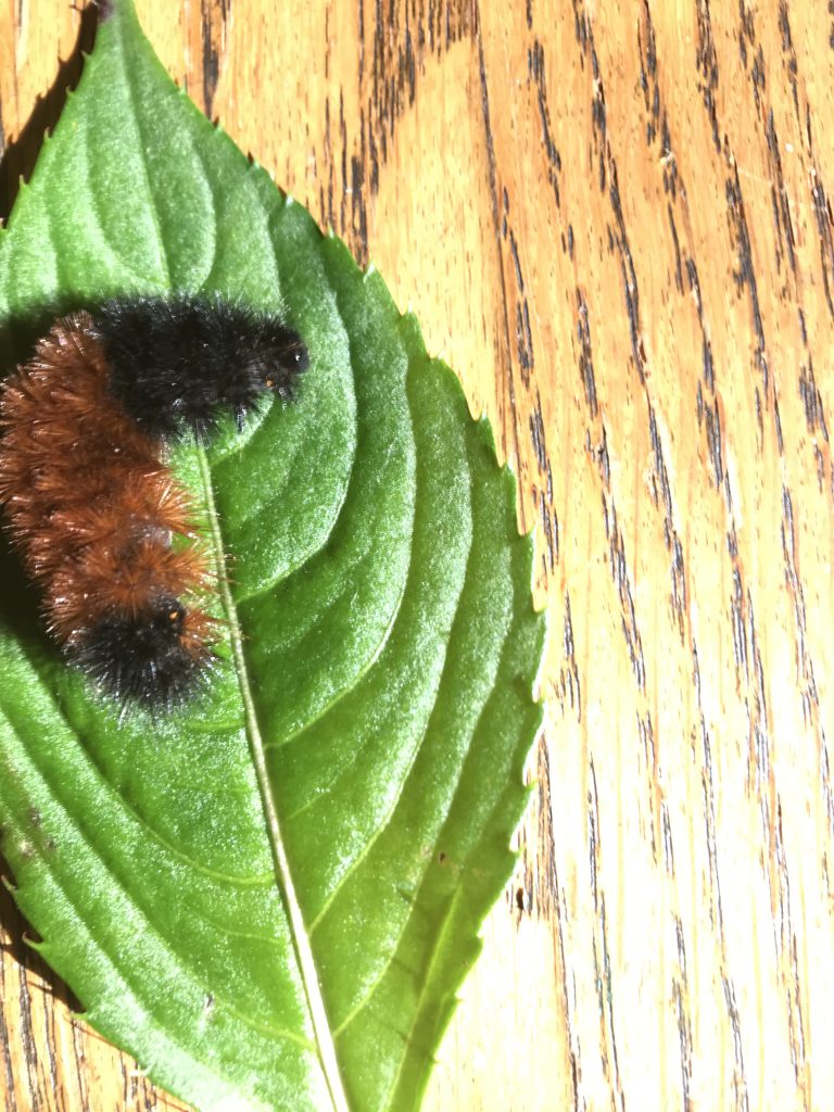
Pictured is a wooly bear caterpillar. (Photo courtesy of Jack Hughes)
Indian summer is period of pleasant weather with lots of sunshine that usually follows our first frost and freeze.
This year, like last year, the frost and freezing weather has been later than usual. This past week finally brought the area its first temperatures below freezing which produced a heavy frost and freeze in most regions, including both the mountains and lower elevations.
Cold air likes to settle in open bottom lands and this is why valleys usually show the first signs of frost. Frost is the icy white coating that adheres itself to grass, plants, roof tops and car tops. It happens when the temperature drops to freezing or below.
A freeze occurs when the air temperature drops below freezing and stays below for several hours causing the plant to actually freeze and die.
This past week also saw our higher mountains receive their first coating of snow. Nearby Seven Springs had a half inch of accumulation and mountains in Maryland and West Virginia also had small accumulations.
Usually Southwestern Pennsylvania sees its first frosty weather in early October and these later dates are more than likely the result of our changing climate. The latest frost in the weather records books for our area was on Nov. 11, 1994.
The term Indian summer has been used for many decades to describe a period of pleasant weather in which our Native Americans gathered the last of their crops for winter storage. No one is sure just where the term originated but it is a weather event everyone looks forward to each fall.
You have probably noticed in recent years that the actual fall colors are occurring later than in the past; and this year we are some three weeks behind schedule.
In the mountains, colors peaked this past week and are now spreading down the hillsides into the lower elevation. The fall color season has been somewhat muted but, with lots of sunshine forecast this weekend and into next week, Mother Nature will still come through but with less color than previous years.
The weather prophets are all out this week making their winter forecast: from cold and snowy to mild and wet. In addition there are the traditions of abundance of acorns, furrier animals and, of course, our Wooly Bear Caterpillars.
The Almanac is forecasting a blockbuster and the TV weather prophets are looking for above normal snowfall. The “La Nina” weather pattern that has developed should keep things on the mild and wet side at least for November, December and January.
The key to all of this is how many time the Polar Vortex visits. The Vortex is a mass of frigid arctic air that builds up in the darkness of the frozen arctic region. Some years it stays put in the frozen arctic while other times it is picked up by the Jet Stream winds and plunges southward, bringing cold arctic air and snow to our region.
November temperatures average 54 for the high and 34 for our morning low. Records are 85 in 1948 and 1 below zero in 1929. The big Thanksgiving snow of 1950 brought 25 to 35 inches of snow across Southwestern Pennsylvania. Only snow showers were forecast.
We are much better at these forecasts today and looking ahead the weekend and coming week should see temperatures above normal and plenty of nice sunny days.